

DJI Mavic 3M - The drone for agriculture
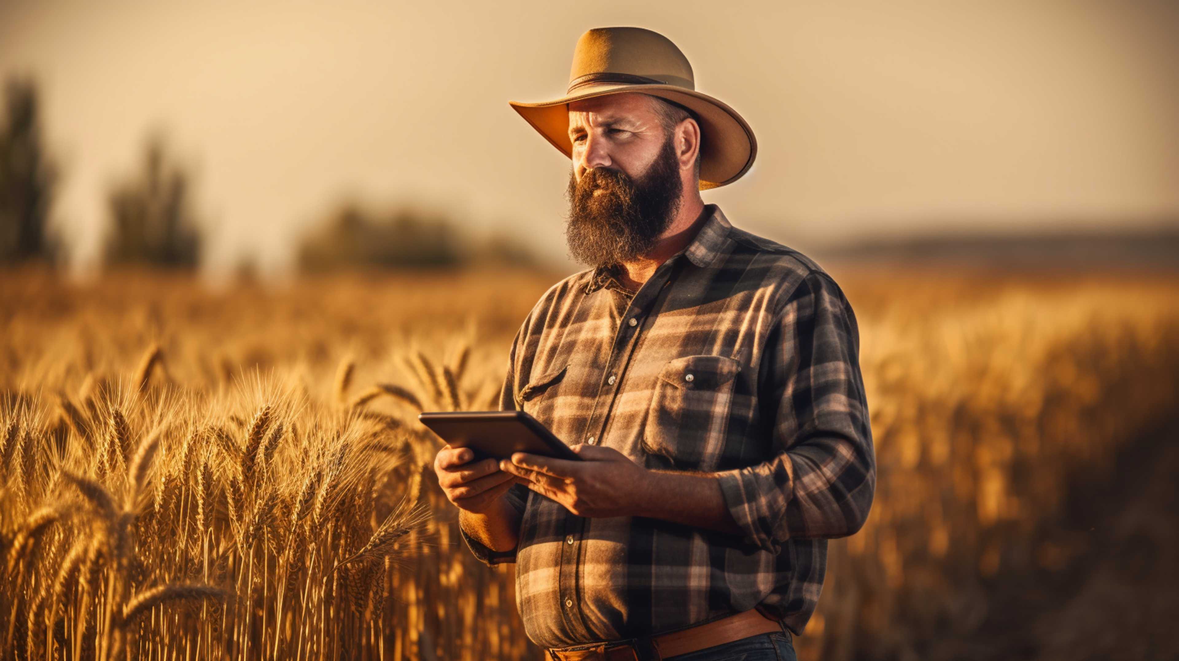
The DJI Mavic 3M is a drone designed specifically for agriculture, offering a range of powerful features for monitoring and analyzing agricultural land. With a multispectral camera system, a thermal camera system and a high-resolution visual camera system, it is a versatile tool that helps farmers to increase their yields and make their operations more efficient.
Multispectral camera system for precise plant monitoring
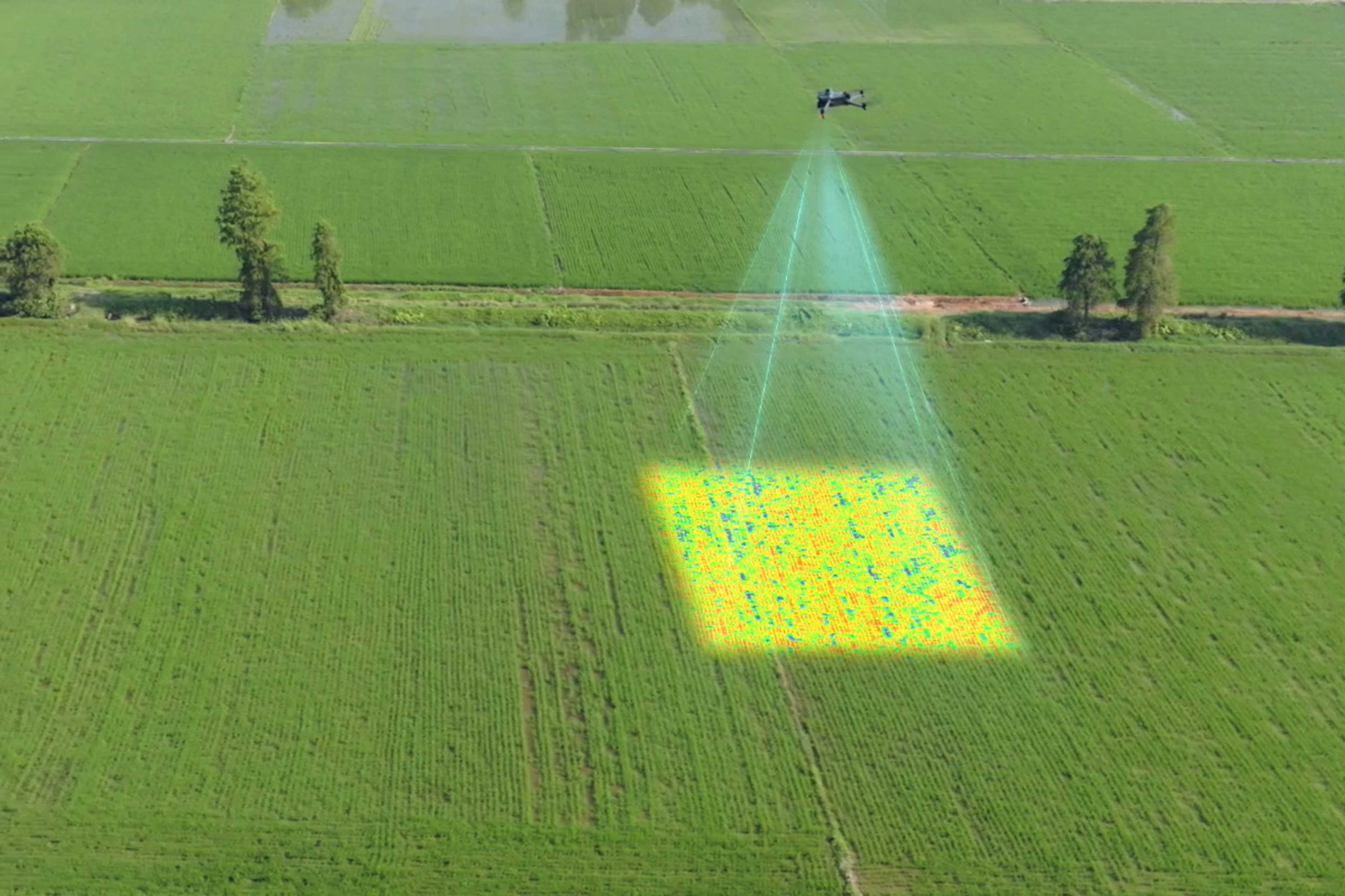
At the heart of the DJI Mavic 3M is its multispectral camera system. This advanced technology enables farmers to measure various plant parameters such as the water content, nutrient content and stress level of their crops. This precise monitoring allows farmers to keep a close eye on the health of their crops and detect problems such as water shortages or nutrient deficiencies at an early stage.

Thermal camera system for detecting temperature differences
The DJI Mavic 3M's thermal camera system is another valuable tool for farmers. It can detect temperature differences in agricultural fields, which provides valuable information about water loss, the occurrence of diseases and pests. By detecting such problems at an early stage, farmers can take targeted measures to protect their crops and minimize harvest losses.
High-resolution view camera system for detailed images
The DJI Mavic 3M has a high-resolution view camera system that enables detailed images of agricultural areas. With these high-resolution images, the planting density, the condition of the crops and the soil conditions can be accurately assessed. This facilitates the planning and implementation of agricultural measures, as farmers gain a precise insight into their fields.

Increased yield, cost savings and sustainability
The DJI Mavic 3M offers farmers a wide range of benefits. By precisely monitoring plant health and detecting problems at an early stage, farmers can increase their yields. At the same time, the drone enables targeted irrigation and fertilization, resulting in more efficient use of resources and cost savings. By using the DJI Mavic 3M, farmers can also make their agricultural operations more sustainable. The targeted monitoring and management of fields enables a reduction in the use of pesticides and fertilizers, which reduces the environmental impact and promotes biodiversity.
Conclusion
Overall, the DJI Mavic 3M is a powerful drone designed specifically for the needs of agriculture. With its multispectral camera system, thermal camera system and high-resolution vision camera system, it offers farmers a wide range of possibilities to improve their agricultural production. The DJI Mavic 3M is easy to use, versatile and enables farmers to increase yields, reduce costs and make their operations more sustainable.

Pricing
Ab
4447,03 €
Depending on equipment
Attributes
Support
Videotutorials
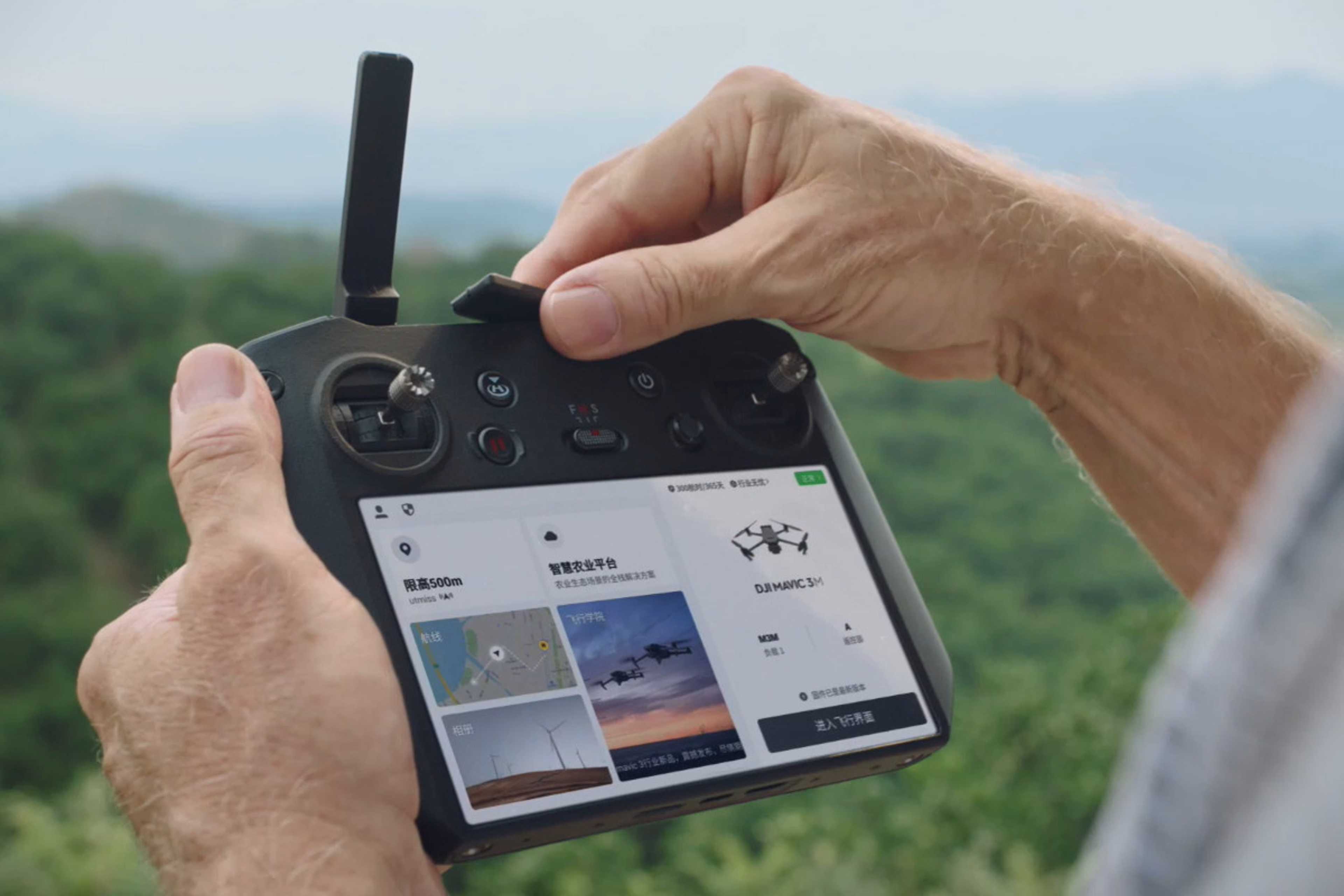
Controller
Integrated screen
Screen size in inches
Maximum range in km
Operating time controller in hours
Charging time controller in hours
Flight planning software
Software Post-Processing
Observationstechnik
RGB - max. resolution (px x px)
RGB - Megapixel
Multispectral - Channels
Multispectral - Megapixel
Live views
Type of culture
General
Mapping drone
Drone type
Weight in kg
Dimensions in working position in cm
Dimensions transport position in cm
Flight time in minutes
Position accuracy
Collision control
Terrain tracking
Company
SZ DJI Technology Co., Ltd.
China
Founding year:
2016