betriko GmbH
Agrarmonitor


Contractor Management
Machine communication
Fertilization planning
Manage Multiple Farms
Soil samples
Cost accounting




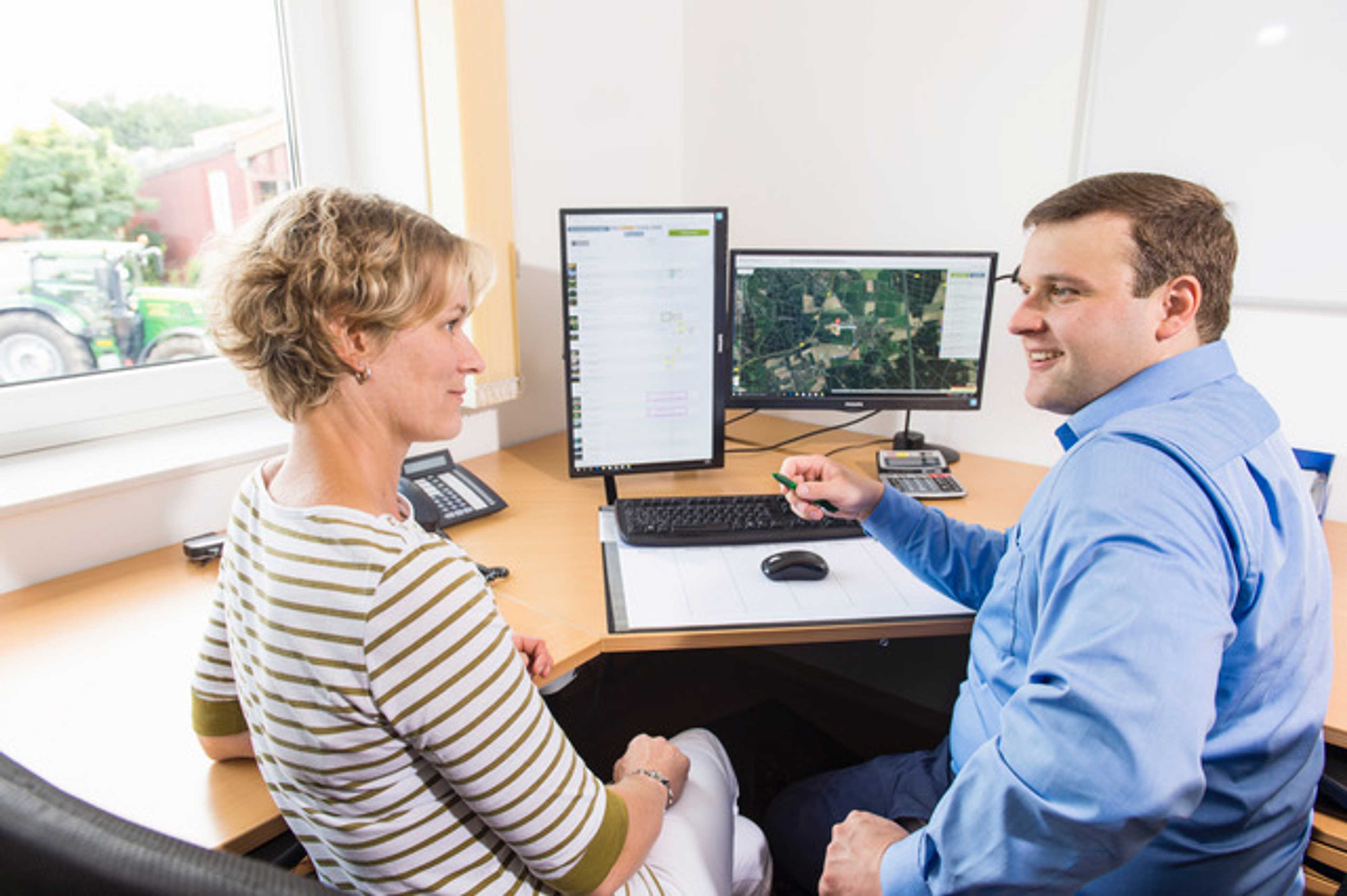

The software for contractors and professional arable farms.
Real-time data acquisition in the field, digital receipt management, disposition, fleet management, field management and evaluation - these are the components of AGRARMONITOR. The farm management software from the industry, for the industry has been a strong partner for farms and contractors for more than 12 years. The focus is on personal service and continuous further development of the software so that the individual needs of customers can be met.


Always stay up to date with synchronous data exchange
Agrarmonitor enables synchronous data exchange between the driver and the office. This means that all relevant information can be recorded and exchanged in real time.
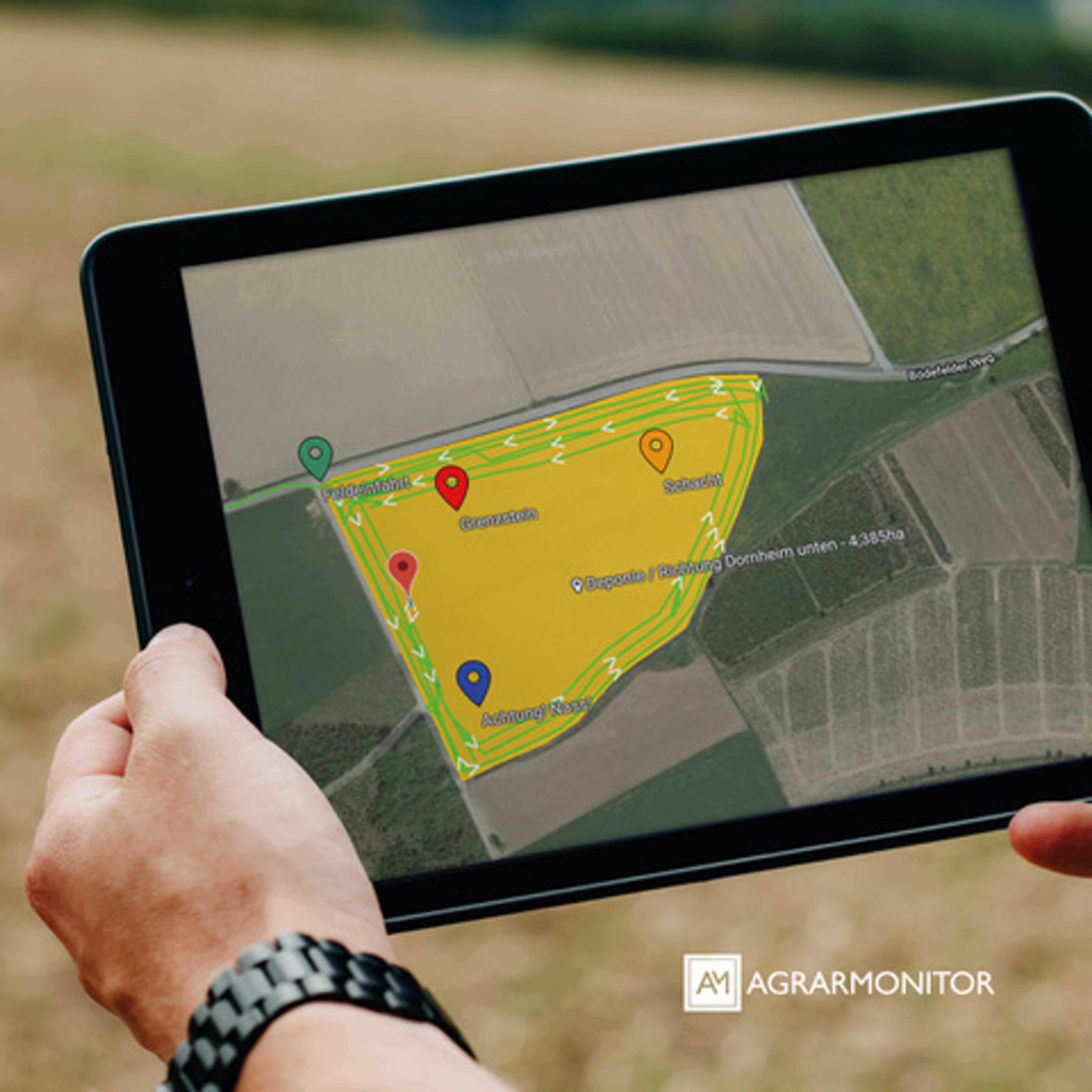
Navigation directly to the field
In the map, the drivers can be navigated directly to the blow. In addition, they are informed about the processing progress of their colleagues.
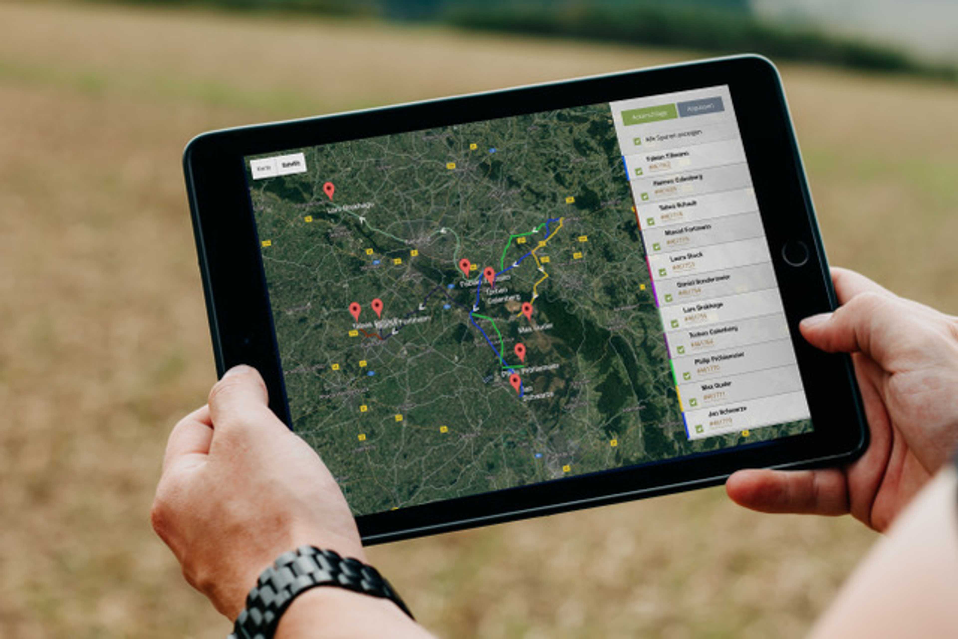
About location tracking Have all machines in view
The location of the machine always in view - with mobile order entry, the location histories of the machines are also automatically recorded.


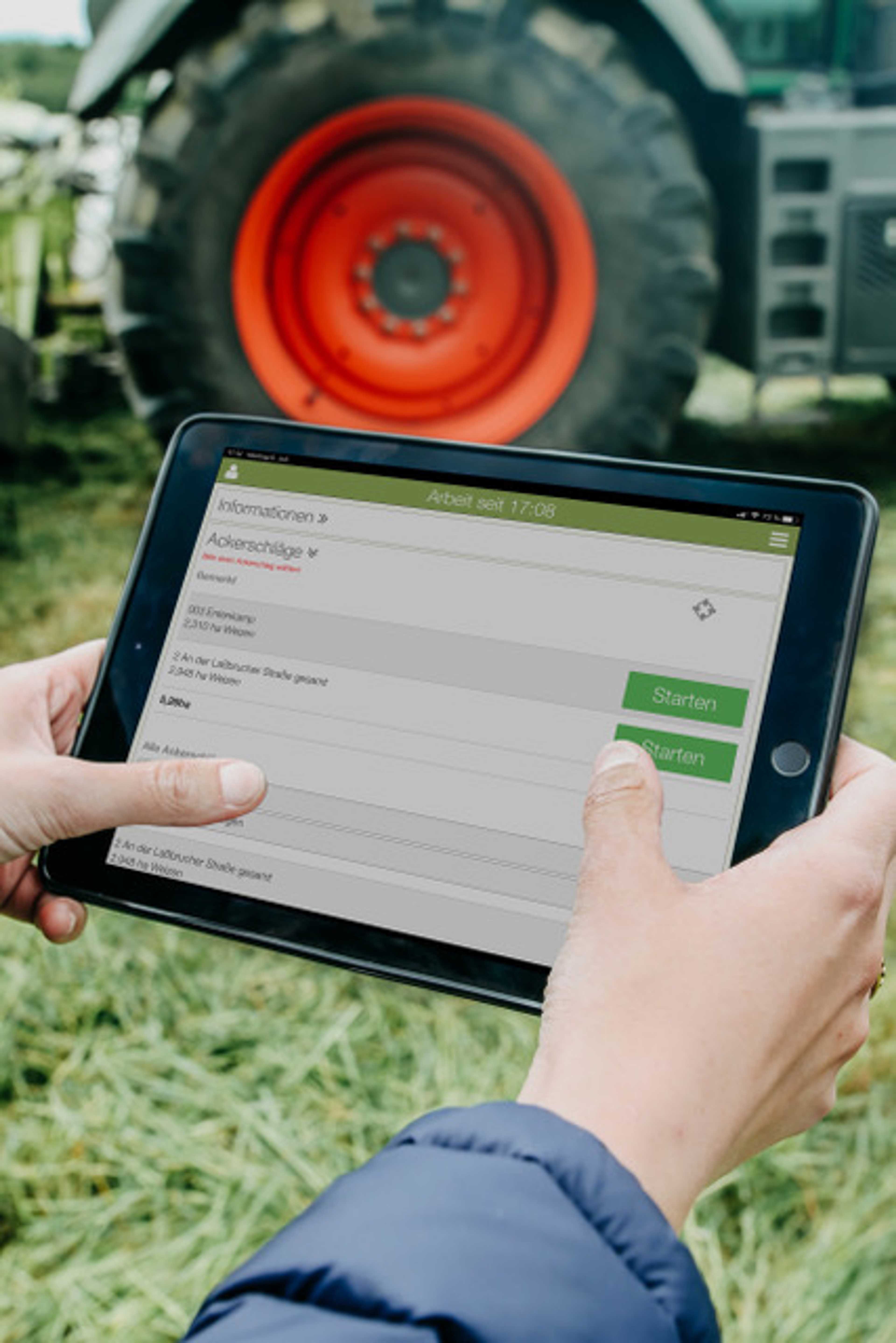
Digital capture for efficient management
With just a few clicks, all relevant information can be recorded digitally and in real time. Weighings and article consumption can be documented for each specific batch.
Cost control via an interface to accounting
Cost control instead of cost chaos. The invoice is created with just one click. An interface to the accounting department is available and the office work is as good as done.
Planning daily schedules with scheduling
In addition to vacation planning, the availability of temporary workers during the harvest season can also be documented. With the scheduling function, various daily schedules can be planned and spontaneously adapted to the current day's conditions.


Fleet planning with real-time data
With Agrarmonitor, you always have the current processing progress and the entire fleet in view. The real-time map provides an overview of the current processing progress and thus also simplifies the planning of the coming days.
Arable land indexes Import from the application program
The area data can be imported from the application programs. This means that the field boundaries are visible on the move and the employee can easily navigate to the fields. Expense and yield quantities are automatically assigned to the fields. As a result, costs can be allocated to the exact hectare and items and services can be invoiced on a field-specific basis.


Pricing
Ab
2900 €
per year + 29€ monthly per active mobile device
Price depends on the number of active devices
Free trial version
Attributes
Support
Phone support
Mail support
On-site support
Remote maintenance
Videotutorials
Software
Browser application
Android-App
iOS-App
Place of data storage
Scope of functions
Field Registry
Crop protection solutions
Pesticide Approval List
Sowing
Work planning
Operating resources
CC-compliant
Cultivation plan
Measures
Notes
Compatibility
agrirouter
Other
Area management
Field construction
Subarea management
Fertilization function
Soil samples
Fertilizer function
Fertilization planning
Nutrient balance
Material flow balance
Contractor
Contractor Management
User management
Employee Management
Access management
Manage Multiple Farms
weather
Sprinkler control
Storage
Warehouse management functions
Fleet Management
Machine orders
Documentation of machine times
Machine communication
Digital office
Voucher upload
Cost accounting
Invoices & Credit Notes
Banking
Interfaces to financial software
Company


betriko GmbH
Germany
Founding year:
2011