SAM-DIMENSION GmbH
Sam Dimension


Weed mapping
Creation of application cards
On-site support
Phone support
Mail support
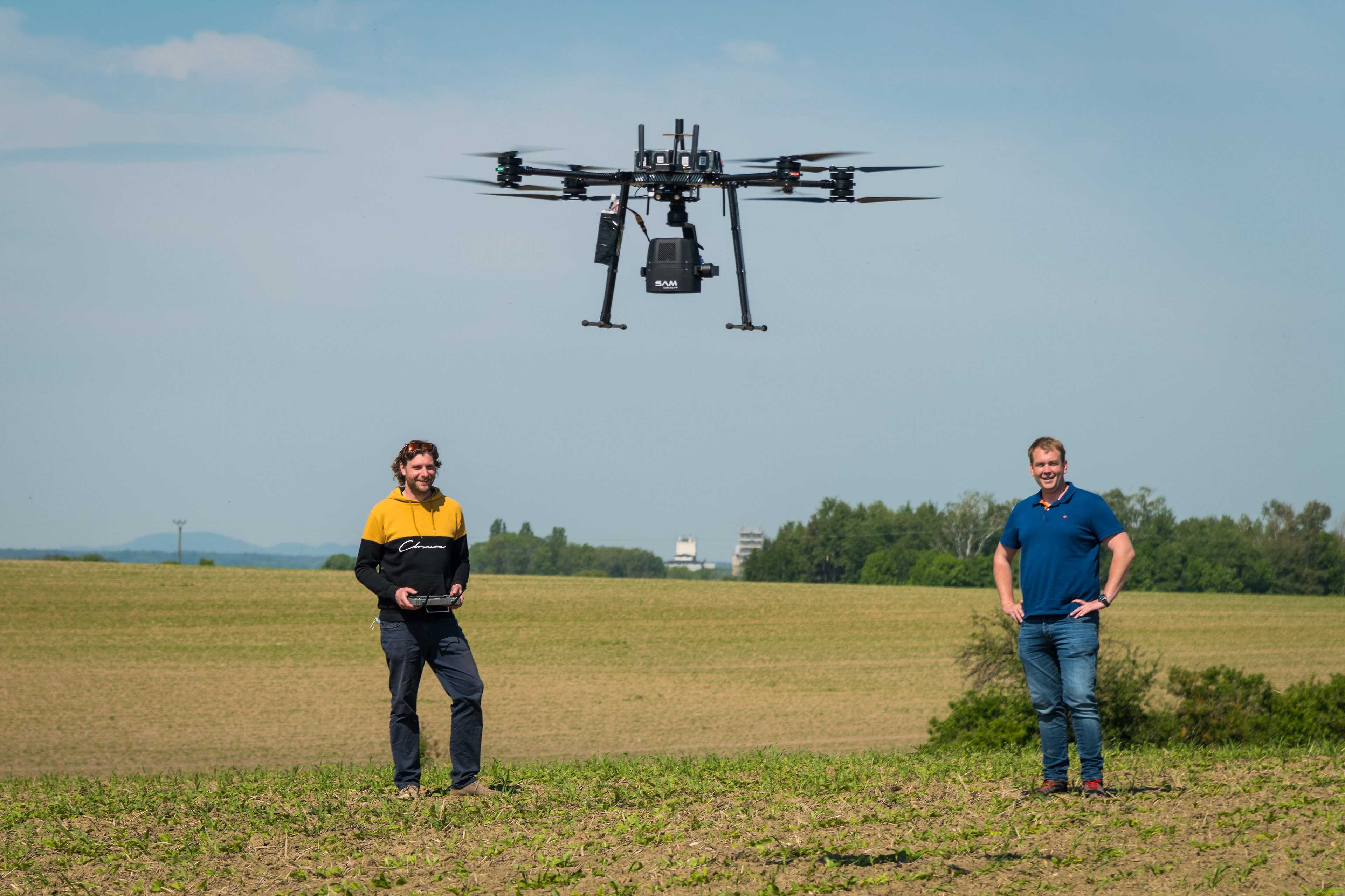


Saving inputs with drone-based weed mapping.
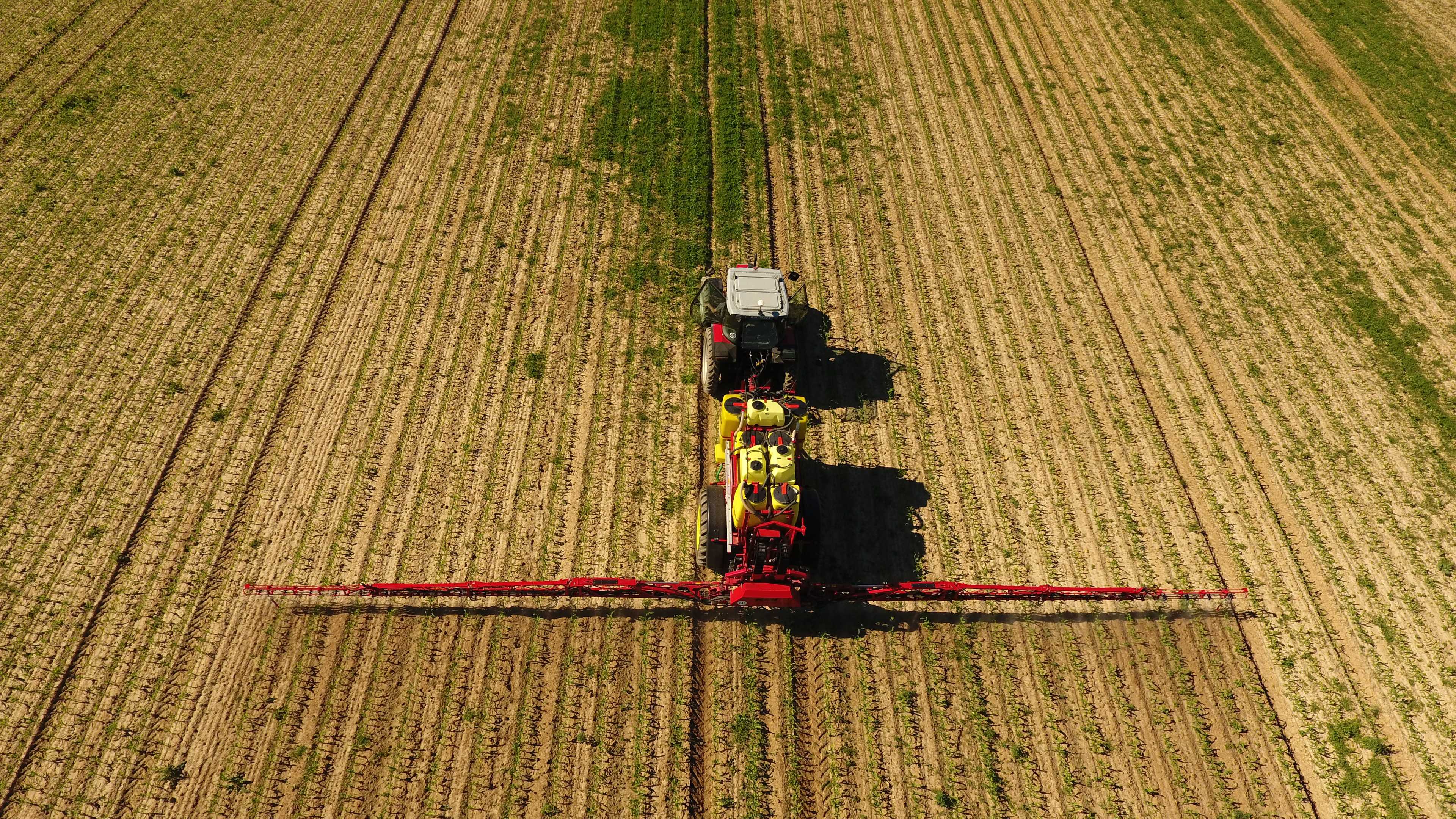
SAM-DIMENSION offers innovative drone-based weed mapping that helps farmers identify emerging weed problems in their fields. Using AI weed detection, all weed seedlings in every cm² of the field are detected and classified. The identified target weeds are linked to their geo-location and transferred to an application map. Farmers can then apply targeted herbicide where it is needed, resulting in unprecedented efficiency in weed control and machine utilization.
Partners and pilot customers of SAM-DIMENSION are satisfied.
"SAM-DIMENSION application cards have allowed us to target herbicides, reducing herbicide costs and increasing crop tolerance."
Robin Kümmerer, farmer and scientist
"Single-plant detection is a very exciting technology that I think has a bright future."
Theodor Leeb, Managing Director HORSCH Leeb Application Systems GmbH
"Using targeted crop protection to apply less active ingredient, conserve resources, save costs and achieve a higher contribution margin."
Matthias Heckmann, farmer
Pricing
From
10 €
per ha
Depending on crop and mapping request
Free trial version
Different versions
Attributes
Services
Weed mapping
Creation of application cards
Sowing catch crops
Detection of game damage
Field mapping/field overview
Fawn rescue
Application of ichneumon flies against the corn borer
Drainage detection
Available drone types
Software
Browser application
Android-App
iOS-App
Desktop application
Place of data storage
Support
Phone support
Mail support
On-site support
Remote maintenance
Videotutorials
Company
SAM-DIMENSION GmbH
Germany
Founding year:
2020