Weed mapping by drone
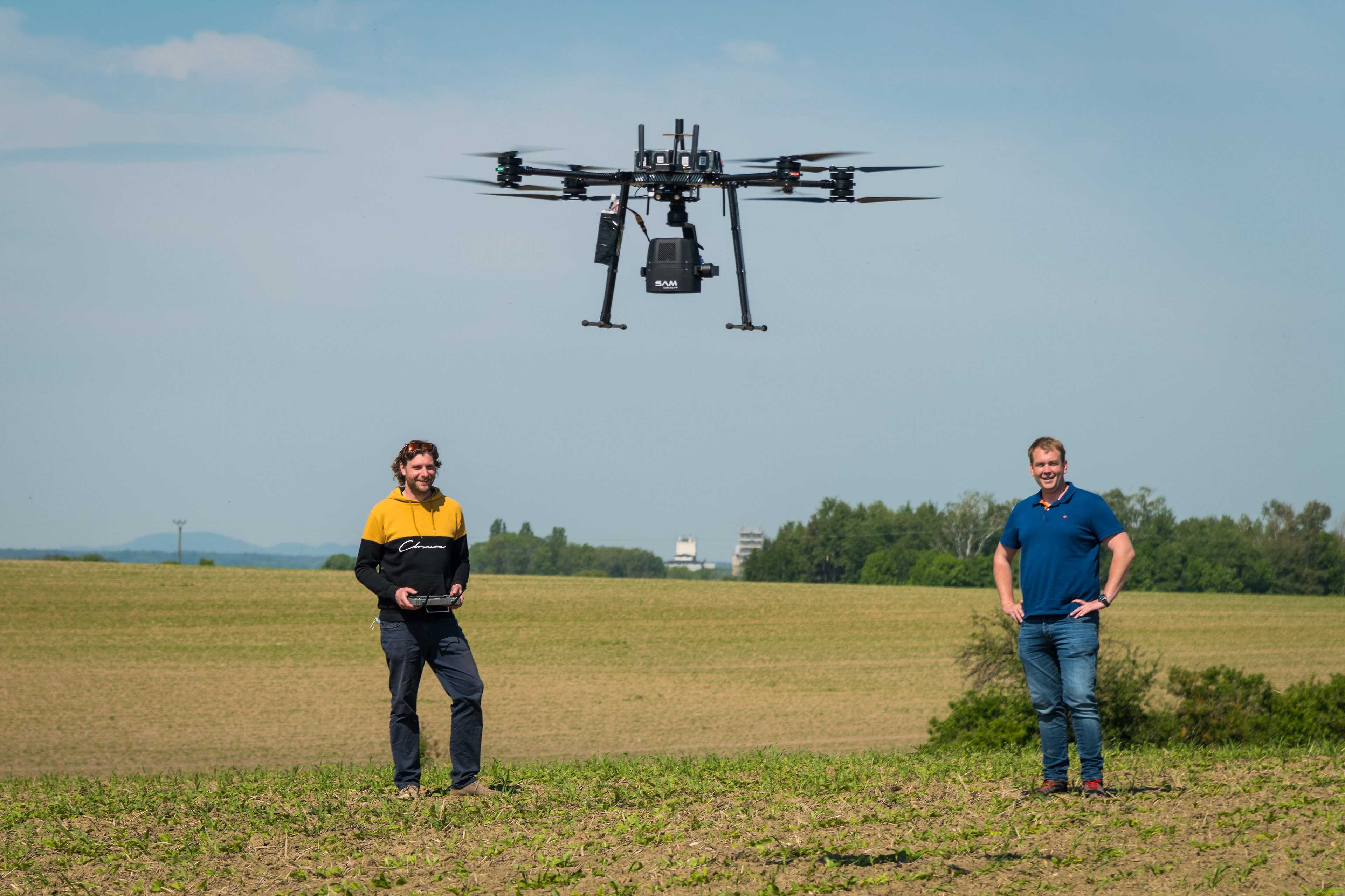
Weed mapping by drone is a method for detecting and analyzing weed occurrences on agricultural land. It involves equipping a drone with a camera or sensor system that captures high-resolution images of the fields. These images are then analyzed using algorithms to distinguish weeds from crops and map the distribution of weeds on the land. The advantages of weed mapping by drone lie primarily in the rapid and precise coverage of large areas and the ability to plan and implement targeted weed control measures. By identifying weed occurrences at an early stage, farmers can also use pesticides in a more targeted and efficient manner, thus reducing environmental impact.


Sorted by
Verified Data
2 results